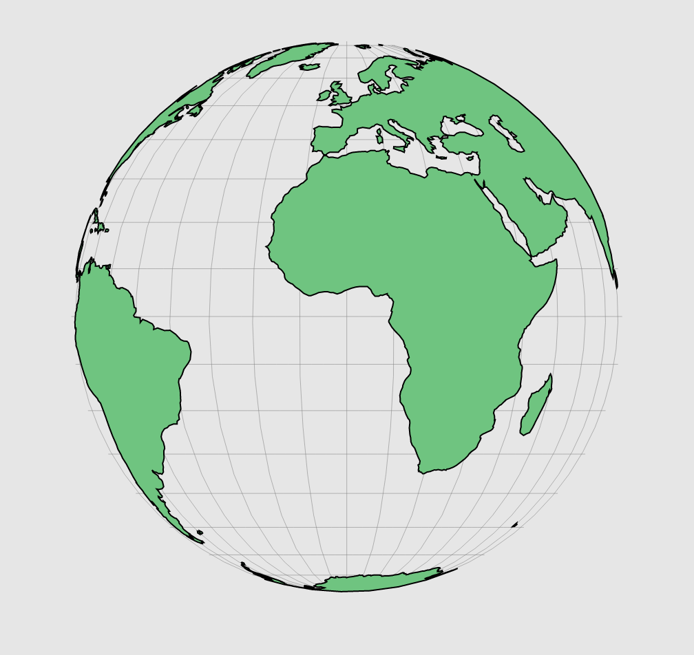
World
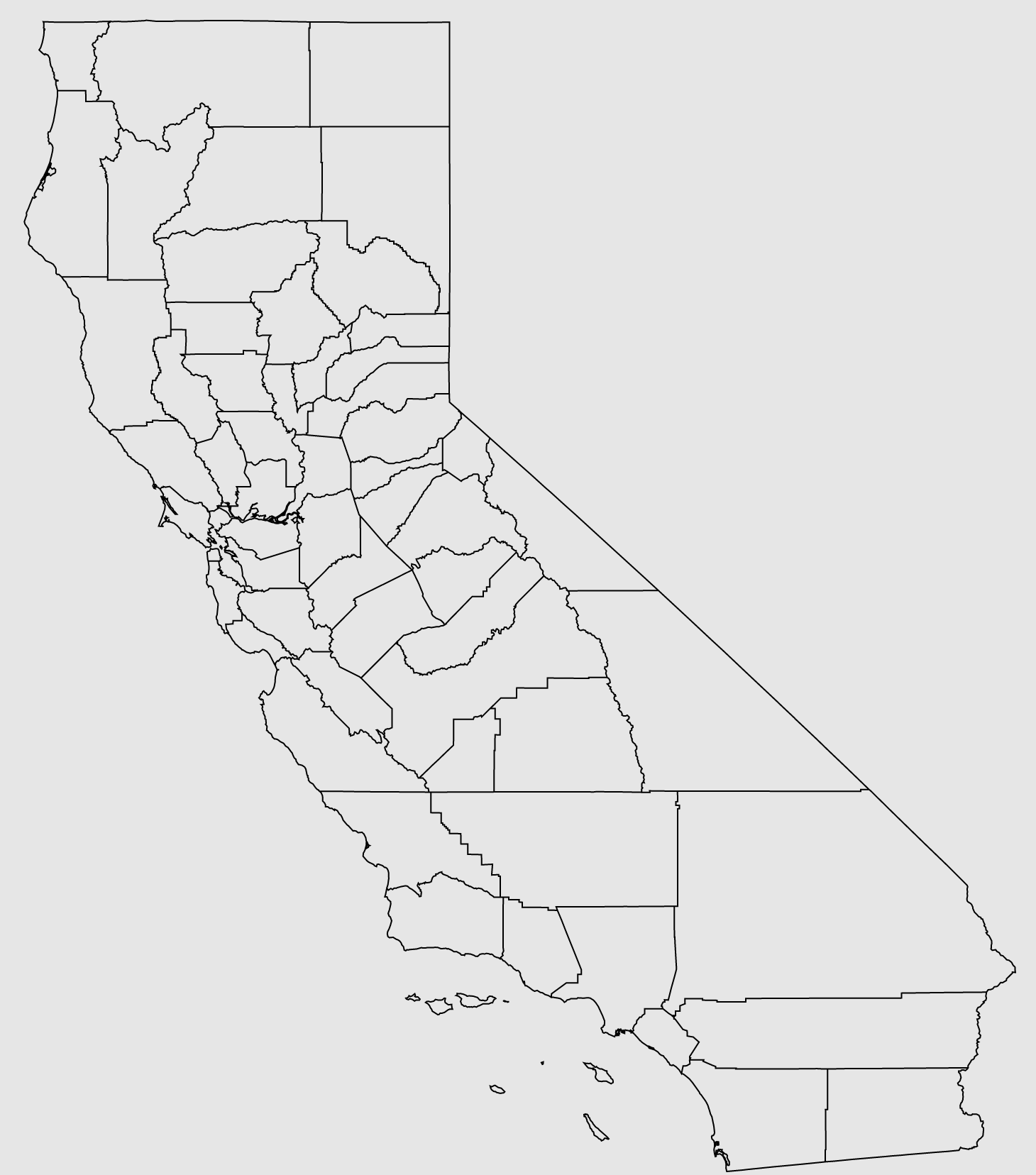
Counties
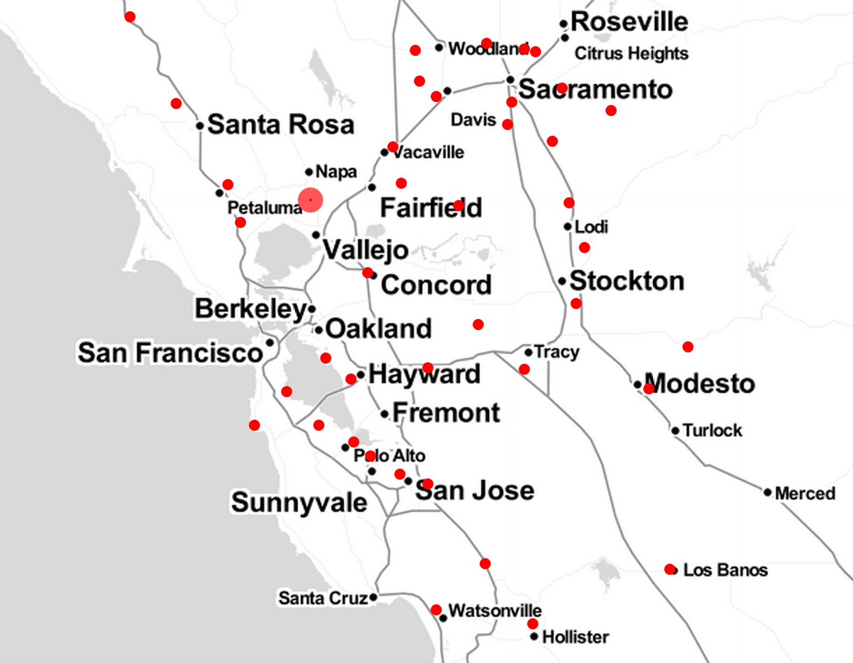
Airports
We can load geometry that has data associated with it.
Download (from earthquake hackathon).
Example in Leaflet
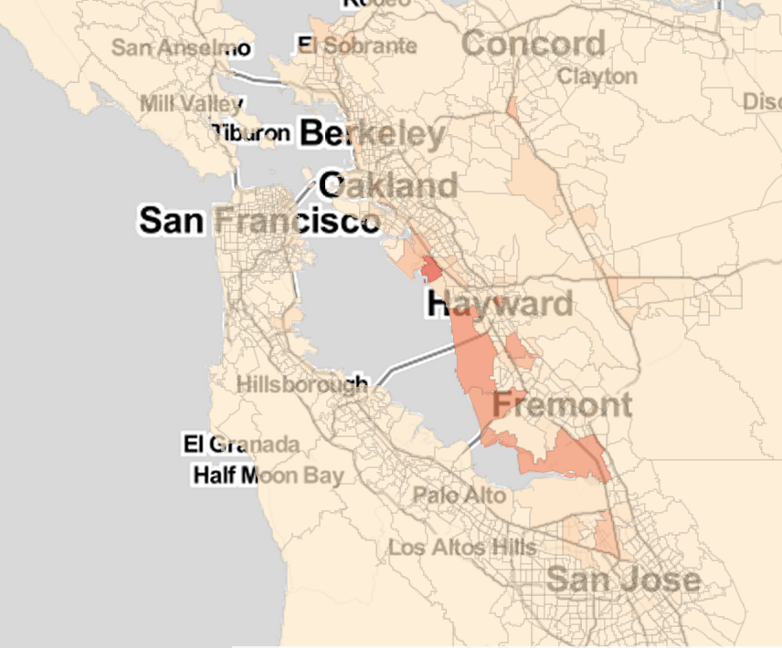
Debris (by county)
We can load polygon geometry that has data associated with it.
Download (from earthquake hackathon).
Example in Leaflet